
White Pike on Birkby Fell
Height 1450 feet/442metres
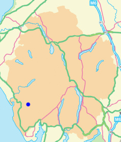
Grid Reference SD 151 956
Area
Birkett - Southern Fells, Whitefell Group - Top No. 400
Wainwright - The Outlying Fells
.jpg
)
White Pike from The Knott.
.jpg
)
White Pike's summit cairn.
Birker Fell Road - Rough Crag (Birker Moor) (96) - Water Crag (97) - The Knott (Stainton Fell) (98) - White Pike (Birkby Fell) (99) - Woodend Height (100) - Devoke Water - Birker Fell Road
All pictures copyright © Peak Walker 2021
©Crown copyright. All rights reserved. Licence number 100045184.